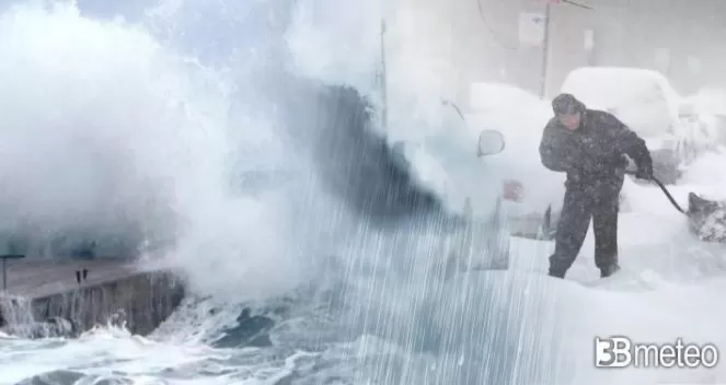
Heavy snow, frost, blizzard and windy conditions across northeastern Europe

A low pressure system over the North Atlantic Ocean is heading towards the UK, Scandinavia and the northeastern Europe bringing heavy rain or snow and strong winds as well as blizzard conditions.
In more details, a low pressure system is heading over the next few hours towards the UK bringing heavy rain across Scotland and northern England which will be accompanied by strong winds with gusts reaching 130-150km/h, wind strength of a Hurricane Category 1, especially across the northeastern Scotland where the winds could cause problems. On Friday, the low pressure system will head towards the Scandinavia where it will bring heavy rain across the southern regions and Denmark, while snow elsewhere. The strong westerly winds with gusts reaching 120-130km/h could create problems like coastal floodings or local destructions, across the western coastal regions of Norway, southern Sweden and Denmark. The strong winds could cause blizzard conditions, locally, in Norway, Sweden and during the night in Finland. Heavy rain is also expected in Poland and a few scattered showers in Germany.
On Saturday, the low pressure system will still be strong bringing heavy snow across Finland and a mix of rain and snow across the Baltic states and Belarus where at night it will turn to heavy snow. Elsewhere, scattered showers are expected to the UK, where snow will fall over Scotland and central Europe. Temperature drop is expected across northeastern Europe.
On Sunday, snow showers will still persist across Norway, the Baltic states and Belarus but with a gradual improvement. Scattered showers will continue to persist across central Europe. Another strong low pressure system is expected to travel on Sunday from Scotland towards Norway where overnight it will bring heavy snow. On Monday heavy snow and blizzards are expected across Scandinavia, the Baltic states and Belarus. Temperatures will continue to drop across northeastern Europe where maximum temperatures will be close to 0C and many countries will experience frosty conditions. On Tuesday morning many cities will reach temperatures close to -7C with Helsinki reaching -5C and Tallinn -7C while maximum temperatures will also be below 0C.
Over the next week snow accumulations could reach, locally, more than 100cm across western Norway, while locally 30-40cm across northeastern Europe.
