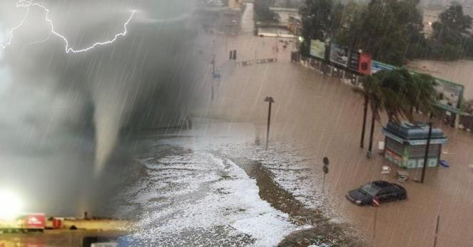
New storm from California will head to the east: Damaging winds, large hail, thunderstorms and possible tornado threat
A low pressure system which is centered today over California will head eastwards towards the eastern states the next few days spreading large hail, embedded thunderstorms and possible isolated tornadoes which will be accompanied by strong damaging winds.

An area of low pressure aloft tracking from California and the Southwest will head quickly eastwards; the weather system will travel fast due to a strong southward jet stream, driving the storm towards the central and eastern United States. Unfortunately, this includes some of the same areas that were hit by another severe weather system last week. The system created more than 38 tornadoes which hitted Texas, Mississippi, Louisiana and Tennessee damaging a lot of cities. This weather pattern is familiar for the season with the most tornadoes occurring during the spring and summer months along with thunderstorms and their peak months are usually May and June.
Below we can observe a tornado that took place last week as it was passing north of Austin.
Amazing @KXAN_Weather video of on the ground tornado crossing I-35 in Round Rock @ 45 just north of Austin pic.twitter.com/eJvCsYnsCN
— Evil MoPac (@EvilMopacATX) March 21, 2022
Monday's and Tuesday's outlook: the storm today is located in California spreading heavy rain and severe thunderstorms are possible in the next few hours. As the storm is heading eastwards will spread heavy rain, flash floods and thunderstorms across Arizona, Utah, Colorado and Wyoming. Strong wind gusts are expected to reach 80-100 km/h or more locally.
Wednesday's outlook: a southern wind from the Gulf of Mexico will be the supplier of moisture leading to a development of severe thunderstorms, flash floods, hail and there is a possible isolated tornado threat in the southern and central states of the U.S.A. In more detail, the weather system after it will gain its power supply will become stronger and will be able to create a possible squall line of strong to severe storms (/elongated QLCS) that will travel to the east. The states that will be affected are Kansas, Oklahoma, Texas, Iowa, Missuri, while Illinois, Arkansas, Luissiana and Mississippi at night. The biggest threat for isolated tornadoes will be for Texas, Oklahoma, Arkansas, Louisiana and Mississippi. The storm will turn more heavy across the southern states with accumulation rates reaching locally 50-70mm. Strong wind gusts are expected to reach 80-100 km/h, or more locally.
Thursday's outlook: the storm will head further east across the southeastern and eastern states of the U.S.A. spreading soaking rain and severe thunderstorms. In greater detail, the states that will be affected the most are Indiana, Kentucky, Tennessee, Mississippi, Luisiana, Alabama, Georgia, Florida and Carolinas. Severe thunderstorms/ possible squall line and tornado threat are possible across Louisiana and Mississippi overnight, while later across Alabama, Georgia and Florida. Accumulation rates will reach locally 40-50 mm. Strong wind gusts are expected to reach 80-100 km/h, or more locally.
Friday's Outlook: the storm will turn heavy across the eastern coast as it ll be fed from the southern full of humidity winds. New York city and Washington D.C. are expecting strong embedded thunderstorms on Friday morning. Later that day, the weather phenomena will ease as the weather system will move towards the Atlantic Ocean. Strong wind gusts are expected to reach 70-90 km/h, or more locally. Huge waves of 3-4m will be able to create coastal flooding.
