WEATHER FORECAST for Europe: COLD AIR MASSES are arriving, TEMPERATURE DROP AND SNOW
ore 19:17
Redazione 3BMeteo
2 minuti, 3 secondi

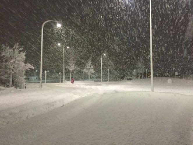
According to the latest forecasting data, cold air masses from northeastern Europe are moving to the south and will affect central and northern Europe, bringing temperature drop, frost and snow, heavy in places. This will be the first cold wave in Europe for this year, reminding us that the winter is coming.
RAIN OR SNOW HEAVY IN PLACES - In more detail, a low pressure system in Iceland will move southeastwards towards the United Kingdom on 25th - 26th, bringing rain, heavy in places and bursts of snow on the Highlands of Scotland. The low pressure system will continue to move southwards towards central Europe on 26th-27th spreading rain or scattered showers through France, the Low Countries, Germany and as it will be enhanced by the descent of cold currents from northeastern Europe will be wintry in places. Snow is expected on the Alps and Norway. These severe weather conditions will be accompanied by cold winds, which will be stronger in the northern and western parts of the British Isles, Northern Sea and the Bay of Biscay with wind gusts reaching locally 100 km/h. Meanwhile, a low pressure system south of France is moving northeastwards towards the Alps, southern Germany, Czech republic and Poland on 25-27th bringing snow even to low ground. For example, snow is expected in city like Munich.
TEMPERATURE DROP AND FROST - The cold front will bring significant temperature drop with maximum temperatures falling even 5C in many places and frost will appear in central Europe which will be heavy in places. Minimum temperatures will be below zero in many cities of northeastern France, Germany, Belgium, Czech republic, Poland and the Alps. Specifically, on 25th-27th of November the temperature will vary in Berlin from -2C to 4C, in Munich from -4 to 4C, in Prague from -4C to 2C, in Warsaw from -1 to 4C, Zurich from -2C to 5C, in Vienna from -1C to 4C.
OUTLOOK- The last days of autumn the weather will continue to be unsettled with low temperatures, frost patches and rain being wintry in places, but temperature rising is expected from the west as the cold air masses will move eastwards.
AUTHOR: Efthymia Dinopoulou
