WORLD WEATHER: season's first LAKE-EFFECT snowstorm hits North-Eastern USA

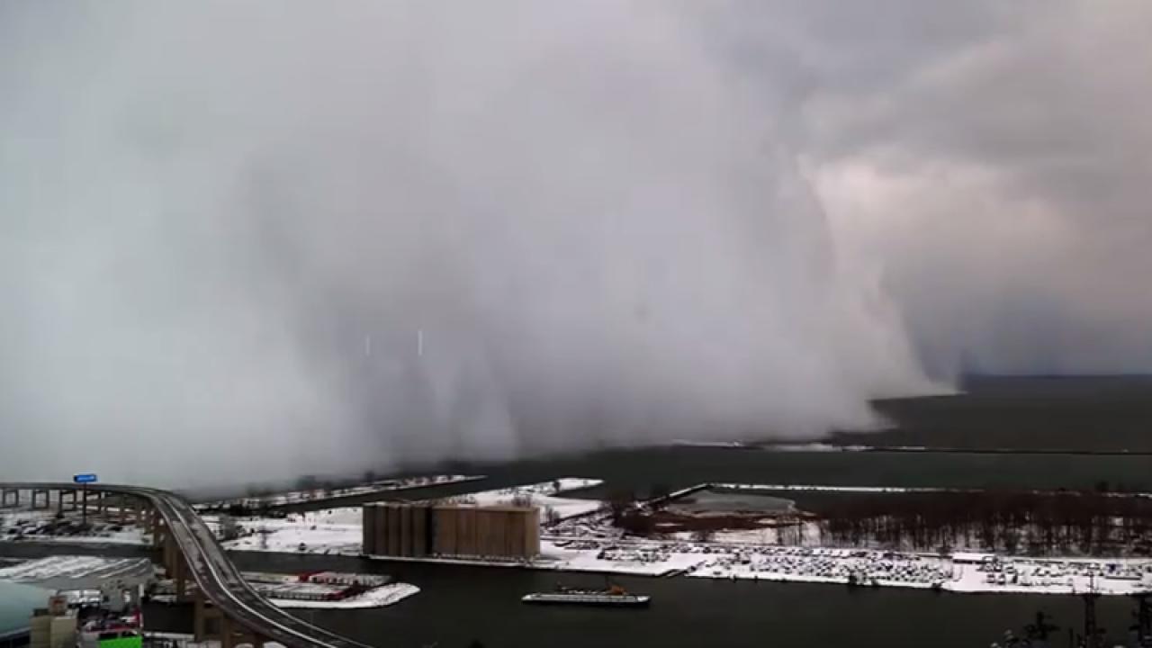
A fast moving cold front crossed the central-eastern US during the weekend, bringing cold weather and the first relevant snowfall for the current winter season. The low pressure system crossed the Midwest first, causing stormy and icy conditions over the Great Plains and accumulating up to 7-10 cm of snow over North Dakota and Minnesota. The front is now moving across the Great Lakes area, where abundant lake-effect snow is expected to fall on the leeward shores of all five major lakes. The well-above average water temperature will contribute to heavier precipitation, feeding more moisture and energy into the system.
Lake-effect snow machine to fire up early this week. https://t.co/Zcw06vxxB2 pic.twitter.com/HZiw7mIqIm
— AccuWeather (@accuweather) November 15, 2021
The heaviest accumulations (up to 10-15cm) are expected to fall today, Monday, on the eastern shores of Lake Erie and Lake Ontario, among the states of Ohio, Pennsylvania and upstate New York. Also some notable cities such as Cleveland, OH and Buffalo, NY will see relevant amounts of snow.
AccuWeather forecasters say residents in the Northeast will experience a serious case of weather whiplash this week as some areas could approach the 70s later this week before temperatures plummet yet again. https://t.co/7VOCSFOikI
— AccuWeather (@accuweather) November 15, 2021
Following this cold outbreak temperatures in the region will soar again,
reaching 15 to 18 °C(mid-60s °F), before dropping once more towards the end of the week, with highs expected to stay
below 5-7°C(mid-40s °F).Below is an impressive example of a
lake effect snowstormrolling over Cleveland, OH on a different occasion.
