Europe Weather Forecast: ATLANTIC STORM with HURRICANE FORCE WINDS is come to the British Isles
ore 16:53
Redazione 3BMeteo
1 minuto, 41 secondi

After Deadly Storm Arwen, a new severe storm arrives next week in the British Isles spreading concern. The British Isles still have not recovered from the damages of the last Storm as 19.500 houses are without electricity due to its damaging winds. Gust winds of 115-130 km/h were widespread, while locally they reached 130-145 km/h. Military arrived in Scotland to assist with welfare checks on remote communities.
Waking upto Carnage across the North East this morning after #StormArwen passed through during the night , roofs off trees down and lorries over #weather #storm @StormHour @PA pic.twitter.com/gWXCf5TGPf
— Owen Humphreys (@owenhumphreys1) November 27, 2021
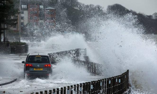
HEAVY RAIN, HURRICANE FORCE WINDS AND HIGH WAVES. The residents of the British Isles should prepare for the new powerful storm that is coming on 7-8th of december, according to the latest forecasting data. A really deep low pressure system will form over the next couple of days over the Northern Atlantic Ocean barrelling eastwards towards the UK, with the help of a strong jet stream, growing and reaching ~960 millibars on Tuesday in Ireland. The Storm will spread bands of heavy rain or scattered showers across the British Isles, falling as snow in places over Scotland and northern England. The main characteristic of the storm will be the powerful hurricane-force winds with wind gusts reaching locally 110-130 km/h in Ireland, the Celtic Sea and the Bay of Biscay. On Tuesday, there is a risk that the wave height will reach 11-13m in western Ireland! On Wednesday, the storm will head more east bringing more rain or scattered showers to the British Isles, the Low Countries, France and Spain which would be heavy across coastal areas and will turn wintry in places. On Thursday, the deep low pressure system will move far to the south towards France and will continue bringing scattered showers to France and Spain which will be wintry in places. As the low pressure system passes across France it will start to ease, leaving behind dry and sunny spells.
AUTHOR: EMI DINOPOULOU
