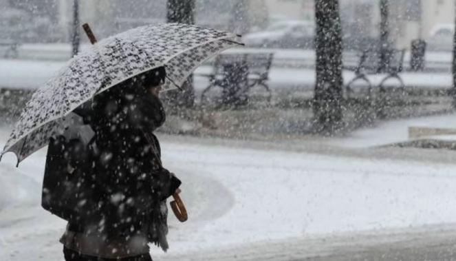
Bomb cyclone across the east coast of USA & Canada: snow & record low temperatures
An unusually strong jet stream dip brought arctic air masses to the east coast of the USA resulting in a significant temperature drop. Extremely low temperatures have been reported, reaching -16°C to -6°C in eastern coast on Sunday morning. The bomb cyclone speaded snow, turning heavy on Sunday morning across the east coast of USA, while later that day became strong over eastern Canada.

A bomb cyclone "occurs when a mid-latitude cyclone rapidly intensifies," or quickly drops in atmospheric pressure, marking the strengthening of the storm, according to the National Oceanic and Atmospheric Administration. When a storm's central barometric pressure drops at least 24 millibars in 24 hours bombogenesis is occuring.
This last band means business! Absolutely dumping again in York.. close to whiteout conditions at times.. #snow #pawx #BombCyclone #blizzard pic.twitter.com/qUA8qj5vba
— MU Weather Center (@MUweather) March 12, 2022
This major storm spreaded snow across the northeastern states, first in Pennsylvania, where road accidents happened due to the frozen road surface in the Harrisburg area. Over 30cm of snow had fallen over hills, as also in the state of Maine. Heavy snow has also affected the state of New York, with about 20cm falling on the inland areas. Minimum temperature today was -6°C in NY and Washington DC, -4°C in Atlantic City and Portland, while from -16°C to -10°C in West Virginia, Pennsylvania, Ohio and Vermont. Strong wind gusts of 100-140 km/h occurred, while in North Carolina reached 150km/h.
Winds caused the container of a truck to fly off, land on a CPD cruiser, and then slide off into the Wando River. Thankfully the officer and truck driver are okay. #chsnews pic.twitter.com/TzkmHp8MPJ
— Charleston P.D. (@CharlestonPD) March 12, 2022
The bomb cyclone moved fast northeastern towards Canada today, spreading heavy rain or snow across Nuova Scotia, Quebec and St John's, while blizzard conditions are occuring in Newfoundland and Labrador with wind gusts of 120-140 km/h. The storm is now centered over the Labrador Sea with pressure reaching 935mb.
The next few hours the storm is forecasting to move northeastwards towards Greenland, but will still continue spreading snow across the northeastern regions of Canada. On Monday morning, as the arctic air passes through across eastern Canada, maximum temperatures will drop to -10°C to -20°C!
As the strong cyclone moves further to the north, a new low pressure system will bring strong thunderstorms over the Gulf of Mexico from Tuesday.
