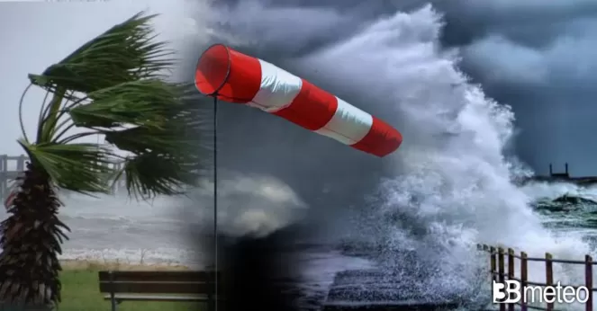
Hurricane force gust winds, showers and thunderstorms this week in Europe

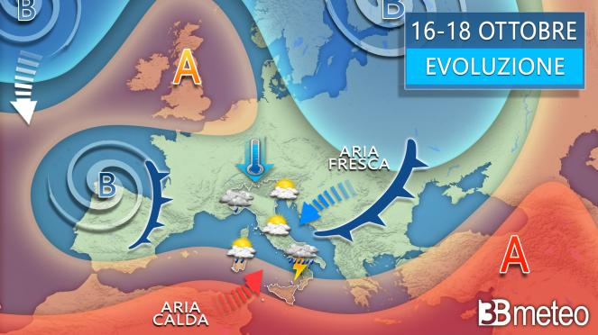
As it was discussed in my previous article this week will bring back the autumn as low pressure systems from the Atlantic Ocean will move eastwards spreading rain, showers and thunderstorms to much of Europe which will be locally more intense in Portugal, Spain, France and the UK. To be more specific, over the next 5 days, accumulation rates would reach 160-200mm in northern Portugal and northwestern Spain especially between Muros and Porto.

Hurricane Category 4 wind gusts in Portugal and Spain: the low pressure system will be deep enough to generate strong winds with gusts reaching on Tuesday 100-120 km/h, while between Thursday and Friday could even reach 140-150 km/h, a Hurricane Category 4 force, across northern Portugal, Spain and western France with wave height up to 7-9 m!!! It requires a lot of attention this week in Iberia and especially in the cities between Porto, Muros, Cedeira, Ribadeo and in the southwestern coast of France between the cities Bordeaux and Nantes, as the strong winds along with the high precipitation rates could cause flash flooding, coastal flooding and even damages to structures. From Thursday, a cold eastern strong wind over the North Sea with gusts up to 110-130 km/h could also bring damages to the UK.
