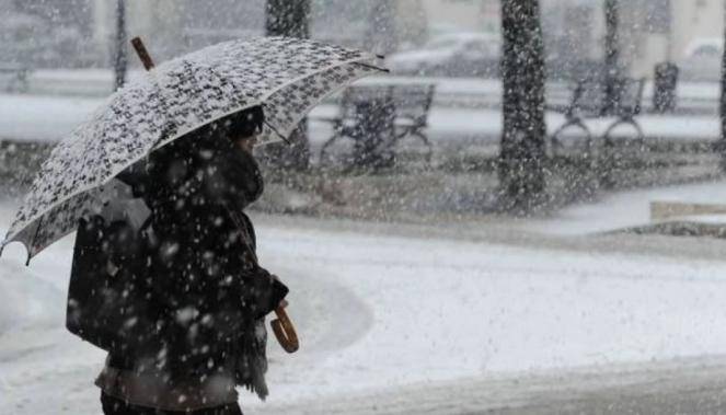
Strong Cyclone across the eastern USA this weekend: Heavy snow, blizzard and frost
A low pressure wave, nearly stationary east of southern Florida, will intensify the next few days, becoming a large strong cyclone on Saturday morning bringing heavy snow and strong winds.

But what are the reasons behind this severe event? the reason behind this severe weather is the big temperature difference between the arctic air masses of eastern USA and the warm of the Northwestern Atlantic Ocean which will create a strong jet stream that will help the arctic air masses to slip to the south-east. This will intensify the low pressure system and upgrade it on Saturday morning to a large cyclone.
SATURDAY, SNOW OVER NEW YORK CITY AND EAST COAST: the large cyclone on Saturday morning will be centered east of Carolina with pressure ~1000 mbars and will start moving to the northeast towards New Jersey, New York and Massachusetts with a pressure decrease during its course, reaching on Saturday night 970-980 mbars. During its course will bring heavy snow even at sea level which will be accompanied by strong winds, which locally can create blizzard conditions. New York city and Washington are expecting heavy snow and frost conditions with temperatures below zero. In the eastern coast of Massachusetts and New Scotland the cold northeastern winds can reach gusts of 100-120km/h. The biggest amounts of snow will be expected over Massachusetts. The cyclone will also be accompanied by strong thunderstorms as there will be a big temperature difference between the upper and lower atmosphere, creating atmospheric instability.
SUNDAY, SNOW ACROSS NEW SCOTLAND AND EASTERN CANADA: on Sunday will proceed its northeastern course towards New Scotland continuing its intensification reaching ~975-970 mbars with wind gusts of 110-120km/h. Heavy rain is expected across northeastern New Scotland which can cause severe problems, but also heavy snow and locally hail or freezing rain. Eastern Canada will also be affected by the cyclone which will bring heavy snow especially to Newfoundland and labrador.
TEMPERATURES BELOW ZERO: major temperature drop is expected this weekend with New York expecting temperatures from -14C to -2C, Washington DC from -10C to 1C, Portland from -10C to -1C.
