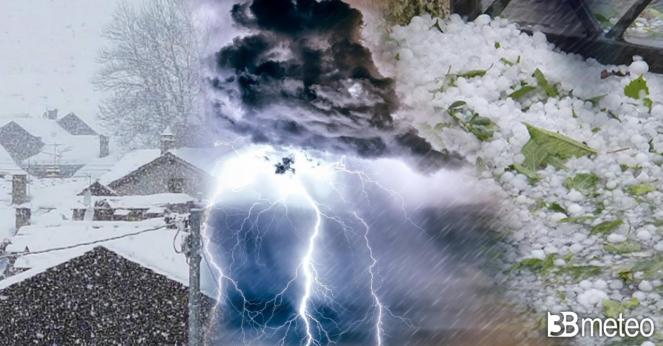
Winter spells in California and the northern states of U.S.A, while thunderstorms, hail and tornado risk across the southern

A weather system center today is heading across the central states of the U.S.A. and is responsible for severe thunderstorms, rain, snow and temperature drop, but also for tornado risk across the southern states on Monday and Tuesday. A deep low pressure system brought winter spells through California and the western states of the U.S.A. during the previous days and the mountains were covered by snow. A real comeback of winter, resulting in 60-70cm of snow over Sierra Nevada's mountains.A strong northwesterly jet stream was able to bring arctic air masses directly from the North Pole, resulting in a intense temperature drop across much of Wyoming, Utah, Nevada and Montana.Cold and thunderstorm.
The weather system will continue a northeastern path bringing the next few daysa major temperature drop to the central and northern states of America. In more details, on Tuesday 26/04/2022 much of the northern states like Dakotas and Minnesota will have minimum temperatures reaching even -12°C, while the northeastern states on Wednesday and Thursday dropping close to 0°C. The low pressure system is spreading heavy showers or thunderstorms across North Dakota and Minnesota, while tomorrow it will turn heavy accompanied by possible hail and strong winds over Missouri, Oklahoma, Iowa and Texas.Flash flood and tornado.
On Monday and Tuesday as the cold front will move towards the south and meets the southern wind from the Gulf of Mexico will be empowered leading to a development of severe thunderstorms, flash floods, hail and possible isolated tornado threat across the southern states mostly over Oklahoma, Arkansas, eastern Texas and Luissiana. Strong wind gusts are expected to reach 90-110 km/h or more locally.
16.9" (43 cm) of snow over the past day brings our storm total to 31.1" (79 cm). The snow has ended and the sun is out!
— UC Berkeley Central Sierra Snow Lab (@UCB_CSSL) April 22, 2022
We are now at 61% of our normal #snow #water equivalent for this date, an increase of 42% since April 11th!#CAwx #CAwater pic.twitter.com/H5hCNZyaKL
